
Photogrammetric Services

IIC Technologies’ terrestrial solutions provide photogrammetry, 3D modeling, digital data conversion, and a full suite of GIS services to our private and public sector clients worldwide. We offer scalable production and progressive technologies to meet our clients’ needs, from terrestrial mapping to aeronautical charting. Our solutions include topographical mapping, LiDAR data processing, cadastral mapping, and urban, metropolitan and land-use mapping.
IIC Technologies delivers the highest quality GIS solutions, offering quick turnaround, on-time delivery and attentive service.


 Photogrammetric Services
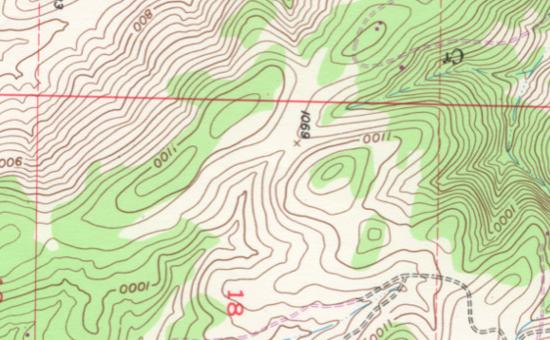
IIC Technologies has established an outstanding reputation for supplying high quality and cost effective photogrammetric services. Using the latest available technology, IIC Technologies offer both data acquisition and production solutions. Our certified professionals have delivered a wide variety of projects, including specialized options for disaster management, transportation infrastructure, urban planning, terrain visualization and modeling, underground asset mapping, and large scale feature extraction for rooftop compilation.
IIC’s services include:
3D Modeling
IIC Technologies specialize in the production of high accuracy 3D models, at its facilities in the UK. Three dimensional data is captured using precise photogrammetry, laser scanning, video and LiDAR technologies. Combining still and video imagery with 3D data, IIC Technologies produce virtual and animated models, from building interiors and exteriors to complete cities. Our modelling and visualization work supports the work of professionals in the heritage, engineering, architectural and planning sectors.
GIS Services
IIC Technologies offers a full line of GIS services and solutions, including aerial and satellite image mapping, LiDAR data processing, and Geodatabase modeling and design. IIC Technologies assists clients by using location-based information to analyze trends, develop projections, and design spatial models for land use, urban and regional planning, environmental management, transportation, water resources, agriculture, soils, and custom application development.
IIC Technologies experienced staff include professional cartographers, geographers, photogrammetrists, GIS analysts, CAD engineers, RDBMS specialists, and software developers. To support the high demands of geospatial data processing, IIC Technologies maintains an enterprise suite of servers and workstations with dedicated connectivity to ensure high speed network transfer, backed by large capacity FTP servers. With decades of project experience, IIC technologies has developed an impressive reputation for high quality solutions, delivered on time and within budget. IIC technologies has extensive experience with the following software packages: ESRI, Bentley, Autodesk, Z/I Intergraph, Leica, Inpho, DAT/EM, Terrasolid, FME, Adobe, ER Mapper and Global Mapper.
Aeronautical Charting
With safety as its highest priority, IIC Technologies helps Air Navigation Service Providers supply accurate and complete navigation charts and products for their air transport networks. A trusted producer of aeronautical, airport and obstacle data, IIC Technologies has created and updated hundreds of Area, En route and Aerodrome charts. Our staff has worked extensively with various international chart standards, ensuring full compliance with Annex 4 to the Convention on International Civil Aviation and the ICAO Aeronautical Chart Manual (Document 8697). For the successful delivery of all these projects, IIC Technologies has implemented professional planning and management procedures that stress top quality results, on time delivery, and superior client communication.
IIC’s experience includes the following ICAO products: