
Home
Government
Government
Enabling smart decision making for smart governance
In almost all areas of governance, be it public administration, public service – utilities, transportation, infrastructure, health services, etc. geospatial technology is a key enabler helping administrators visualize, organize and interpret data for actionable insights. IIC Technologies’ solutions for Government (be it National, State, and Local governments) range from feasibility studies to asset maintenance and management stage. Our solutions range from independent surveys to development of customized applications that help government agencies/ bodies integrate different datasets and visualize it on a single platform, making governance future ready and smart. We have been working for over two decades with government agencies across the world helping them with land management solutions, disaster management, hydrographic services, defense mapping and much more.
We have been working with governments across the globe to provide a variety of solutions:
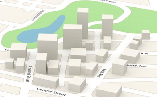
- Smart city planning, including e-Governance, waste management, water management, energy management, and mobility.
- Cadastral survey and mapping for creation and management of land records, and its applications
- Mapping aquifers and water bodies to help assess groundwater and total water available for domestic, industrial and agricultural use.
- Mapping the coastline of the country through stereo aerial photogrametric survey
- Asset mapping of roads and highways including installations, signs, and other features.
- Providing data for military and civil defense purposes, e.g., to first responders during emergencies, or relief and rescue missions during natural disasters
- Helping municipalities track and maintain their assets
Download brochure:
Our Solutions

Smart City
In almost all areas of governance, be it public administration, public service – utilities, transportation, infrastructure, health services, etc. geospatial technology is a key enabler helping administrators visualize, organize and interpret data for actionable insights

National, State And Local Govt
In almost all areas of governance, be it public administration, public service – utilities, transportation, infrastructure, health services, etc. geospatial technology is a key enabler helping administrators visualize, organize and interpret data for actionable insights