
Hydrographic Database services


 Hydrographic Database services
Hydrographic data processing
Hydrographic Database services
Hydrographic data processing
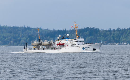
IIC Technologies offers a full range of survey processing solutions and has successfully completed a wide variety of projects for both naval and national hydrographic offices. Our services include data post-processing, surface modeling, sounding selection and contour interpolation. For raw data, IIC uses various software packages to apply biases, suppress beams, and select bin values, depth limits and resolution. The resulting Digital Terrain Model (DTM) is used to produce a specified surface, from which contours can be interpolated and soundings selected. To process dense data from echo sounder, side scan and LiDAR systems, IIC chooses powerful workflow tools including those published by CARIS, IVS, ESRI, Autodesk and Bentley.
Navigation products
IIC Technologies assists the world’s leading hydrographic agencies with a wide variety of digital production services. From the compilation of paper charts to the creation of ENCs, DNCs and AMLs, IIC combines years of experience with an unsurpassed capability in digital hydrographic data. The company helps clients by augmenting their existing workflow, relieving the pressure on resources and increasing efficiency and productivity.
Paper Charts
Balancing clarity with detail, IIC Technologies provides professional paper chart compilation services with a range of workflow options. Our knowledge of national and IHO chart standards allows us to implement specifications seamlessly, producing charts from various analog and digital sources. Qualified and trusted, IIC’s team of experienced cartographers includes former hydrographic office staff expertly trained in chart compilation. We have successfully completed over a dozen complex compilation projects for numerous hydrographic offices.
ENCs, IENCs and DNCs
A well-known expert in the S-57 and VPF standards, IIC Technologies has delivered thousands of ENCs, IENCs and DNCs to hydrographic agencies around the world. Consequently, IIC Technologies has developed innovative production routines that both maximize efficiency and maintain quality. IIC Technologies’ broad experience with various product specifications and standards is second to none. IIC Technologies works closely with clients to address all their requirements, providing full production, validation and maintenance solutions.
Raster Charts
Following the creation of digital paper chart files, IIC exports the resulting datasets to one of a variety of raster data formats. Depending on the requirement, the final rasters may be used in ECS or ECDIS systems or other GIS platforms. Outputs include BSB, HCRF, KMZ, TIF, GeoTIF, JPG2000, and GeoPDF.
AMLs, TODs and MIOs
Since 2003, IIC has been supplying tactical charts to support naval operations and improve situational awareness. A producer of Additional Military Layers (AMLs) and Tactical Ocean Data (TOD), IIC has secure facilities with strict protocols to safeguard sensitive information.IIC Technologies has also been active in the development of Marine Information Overlays (MIOs), including the conversion of sailing directions to S-57. From time-sensitive and mission critical layers to the integration of sailing directions and coast pilots, IIC has extensive experience with the capture and integration of MIOs.
Field Sheets and Fair Charts
IIC Technologies continues to digitize and capture a wide variety of historical field sheets, fair charts and smooth sheets. Before digitization and feature capture begins, sheets are rectified, referenced and shifted to WGS84. Vector feature extraction may include the capture of soundings, line work, rocks and bottom quality information. Final deliverables include quality control reports that list any anomalies.
Validation and Maintenance products
The validation and continual maintenance of chart products are crucial requirements of every hydrographic program. IIC Technologies has unrivalled experience delivering continual maintenance and incremental updating services. IIC can acquire and apply critical and non-critical updates, including NTMs, List of Lights, and new hydrographic and topographic surveys. IIC then formats, processes and deconflicts the sources prior to compilation into ENCs and paper charts. For validation and verification, IIC ensures that newly produced chart products comply with all applicable national and international specifications and verifies that the cartographic content of each chart matches the original sources. Charts are examined for completeness, positional accuracy, correct coding and attribution, and functionality. Both manual inspection and software routines are used to detect problems.


