
Home
Defense
Defense
Providing key capabilities to the military, para-military and civil defense forces
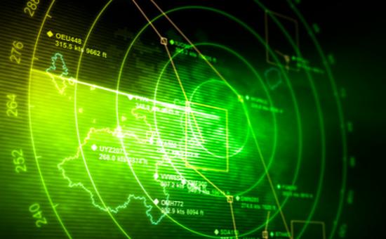
Providing key planning and operational capabilities to the military, para-military and civil defense forces, through geospatial technology solutions. Whether in defensive, offensive, or relief and rescue efforts, defense need timely geospatial intelligence to plan and execute operations effectively.
With our capabilities ranging from surveys to embedded software systems, we deliver custom solutions.
IIC technologies services and expertise:
- Data integration – We integrate datasets from different platforms, including satellite and airborne surveillance. This enables sharing of information within the defense units,intelligence agencies and other government organizations, to strategize and execute joint operations.
- Interoperable data delivery – Our Solutions deliver data in formats required for UAV, armored vehicles, missile systems, aircrafts and naval vessels.
- Change detection solutions – Key when monitoring border areas, insurgency, military camps and installations, key assets (dams, etc.), and rescue missions during natural disasters.
- Geo-intelligence Solutions – Modern warfare and counter terrorism forces need a ‘common operating picture’ for effective defense and strike capability. This is delivered by integrating and processing mapping and other data from civil, geographic, military, and para-military sources.
- Bridging the gap, realizing the ideas – Our expertise in developing detailed proof of concepts for defense, helps bridge the gap between envisioning a product/ solution and the actual planning and effort required for its delivery.
- Skilled professionals – Our software development team has experience in developing end user interface / software applications for our clients spread across the globe. Our expertise in working with multiple platforms, including open source systems has helped deliver high quality applications.
- Hands on Knowledge – IIC Technologies has amongst its ranks, ex-officers and technocrats from the armed forces. Their practical knowledge and expertise in military operations has helped us deliver sophisticated solutions for key defense initiatives.
- Cutting edge technology – IIC Technologies is an active member of various global and local bodies like Open Geospatial Consortium (OGC), which define direction of geospatial technology. We help define and follow latest standards, making our solutions ‘bleeding edge’ and interoperable with latest global solutions.
Download brochure:
Our solutions

Defense mapping
- LiDAR survey
- Topographic mapping of various scale
- Cantonment survey

Defense solutions
- Command and control systems
- Simulators
- Planning systems

Defense estate management
- Defense estate GIS
- Logistic management
- Natural resource management


