
LinkedIn Post: SPC LiDAR Training: SAMOA
posted in development by admin
The ability for Pacific Island nations such as Samoa to undertake planning and to build resilience against the anticipated impact from sea level rise, storm surge and heightened weather patterns is often limited by the availability of accurate data and the means to generate value from it.
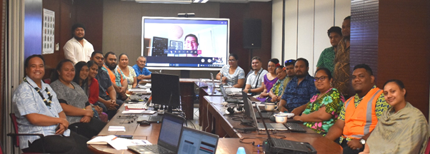
This week IIC was privileged to provide GIS and LiDAR data training to a large team from the Government of Samoa Ministry of Natural Resources & Environment. This work was undertaken on behalf of the Pacific Community (SPC), with funding from the World Bank. The course was tailored for Samoa and covered GPS fundamentals, data quality, the ability to combine data sources, data manipulation, visualisation and much more. Where possible this activity utilised Samoa’s own data and importantly has also provided the attendees with a tool-box of freeware, industry recognised best practice, process guides and reference material to enable their independent work into the future.
The Samoan team of 25 were enthusiastic, engaged and committed to make the most of the opportunity and were a pleasure to work with. This is another fine example of the excellent work undertaken by the SPC, IIC and others to work with Pacific Island nations in realise their desire to be able to independently determine resolves and solutions to their areas of known concern.