Now loading.
Please wait.
Please wait.


6126.png?itok=uVWl40dO)
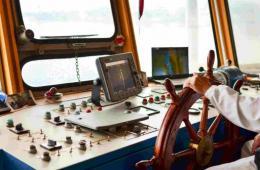
Marine & Waterways
Helping marine and waterways administrators and operators to address key challenges of growth, safety and profitability.

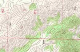
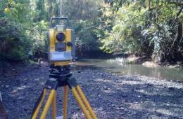
Natural resources
Solutions for environmentally safe exploration and sustainable management of natural resources.


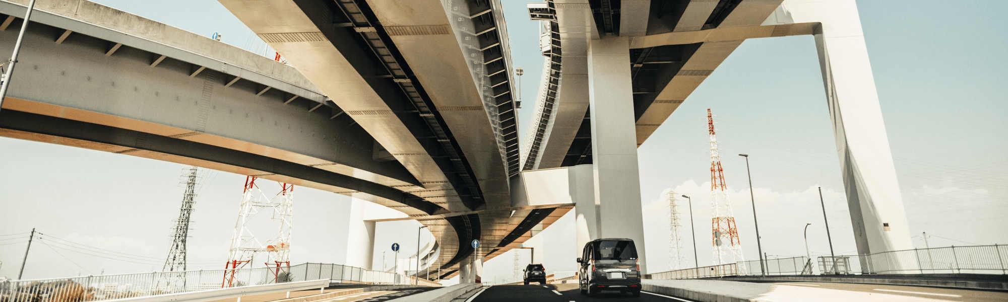
Infrastructure
End to end solutions in planning, execution, operations, maintenance and renewal of infrastructure.

Heritage
Visualizing the past for the future. Helping in discovery, maintenance, and promotion of historical monuments and landscapes
About IIC Technologies - Global Provider of Geospatial solutions and services
IIC Technologies is a ISO 27001, ISO 20000-1 and ISO 9001 accredited global provider of geospatial solutions and services. We provide consultancy, training and specialist services to our clients in government (national, state, and local), defense, Aeronautics, maritime, water resources, utilities, and transportation sectors.
With decades of experience, in over thirty different countries, IIC Technologies specializes in developing and delivering geospatial solutions across all environments be it air, land or marine in accordance with International quality standards

_0678b.png?h=5e765f1f&itok=DOB77dT5)